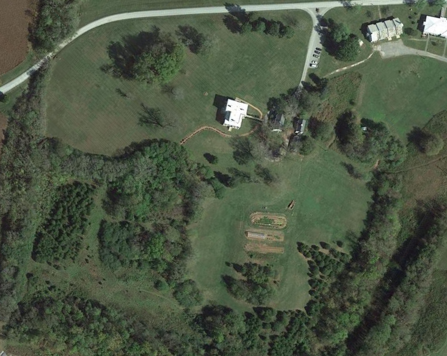
Base Map
The base map is a clear map of the boundaries for your design and may also be used as the background for your sector map.
It should include an overhead view of the design area and relevant surroundings. In addition, all permanent structures including buildings, vegetation, water, and more (i.e. items from your scale of permanence). The map will be to scale and North facing and contour lines are a plus to show changes in elevation.
The base map may be generated from free sources like Google Earth, Stafford County GIS, and QGIS.
If you choose to use an electronic means to draft your base map, this will allow you to later layer different design solutions. Otherwise, you may hand draw the base map.